Apimanufaktur
A bespoke, offline-first, encrypted desktop archive for decades of Kula-ring field research — built around how the work is actually done in the communities.
| | | | ------------ | ---------------------------------------------------- | | Live | — (private desktop tool, runs on the researcher's machine) | | Source | — (private) | | Role | Solo — concept, architecture, full implementation, delivery | | Stack | Flutter (Desktop) · Riverpod · SQLite/SQLCipher · flutter_map/OSM · Whisper · Ollama | | Timeline | Delivered · in production use, with ongoing support and refinements |
The challenge
Prof. Dr. Susanne Kuehling (Department of Anthropology, University of Regina) researches the Kula ring across the entire Massim region, with a focus on Dobu and the southern Massim. The genuinely innovative part is the method: the research is done with and for the community — a team of up to 15 Kula masters collected the data on-site in the communities, oriented to the community's own needs. The result was decades of growing, irreplaceable — and culturally sensitive, community-owned — documentation, scattered across Excel. It needed structure, search, maps and a time dimension, while never leaving the researcher's machine or touching a cloud.
The approach
- Built a bespoke Flutter desktop app from the real fieldwork requirements — not a generic CRUD clone.
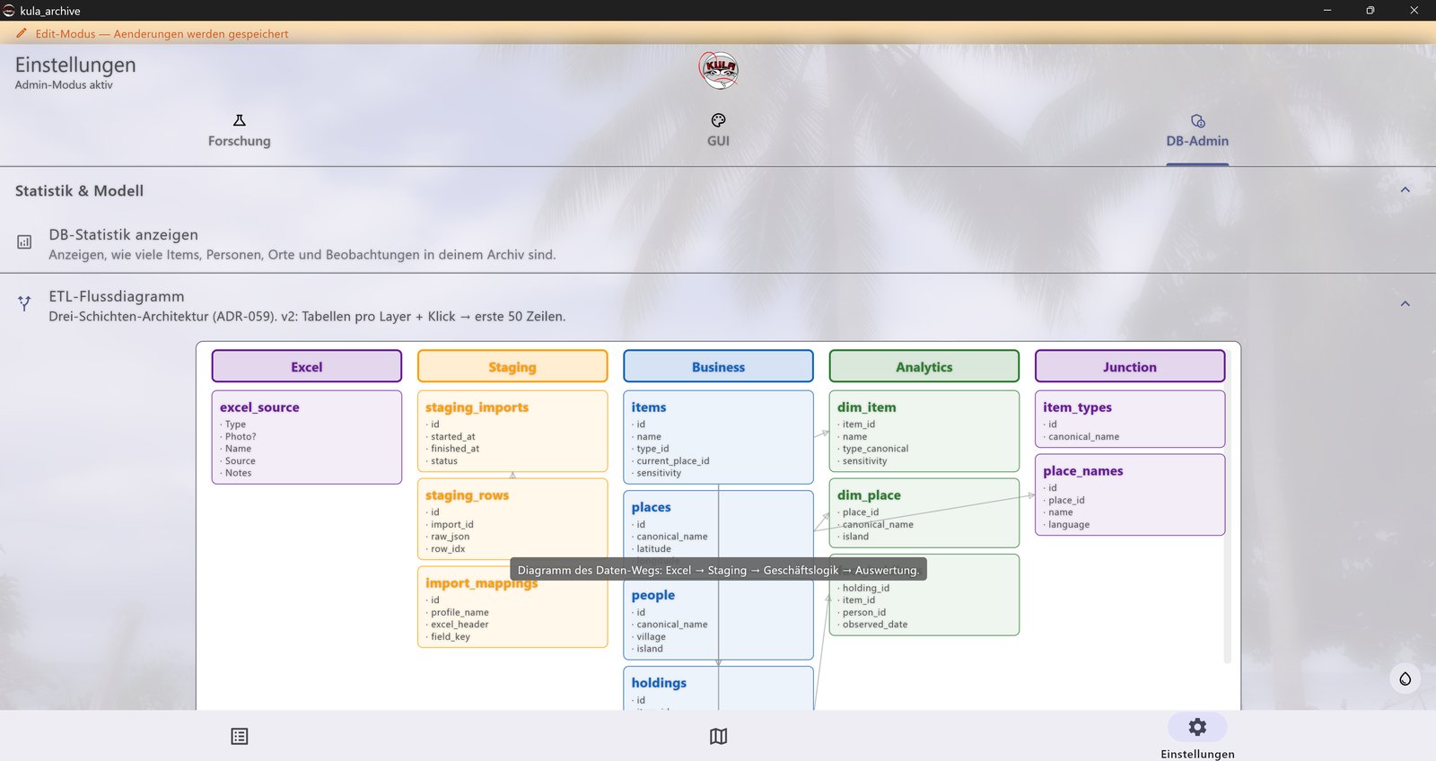
- Encrypted at rest (SQLCipher); a clean ETL pipeline and data model (objects → observations → stations → people/places).
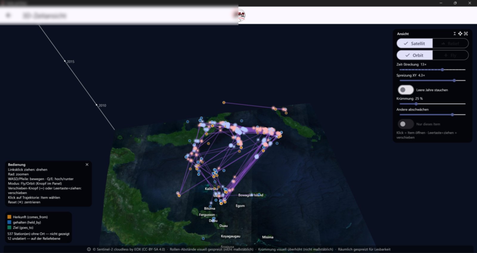
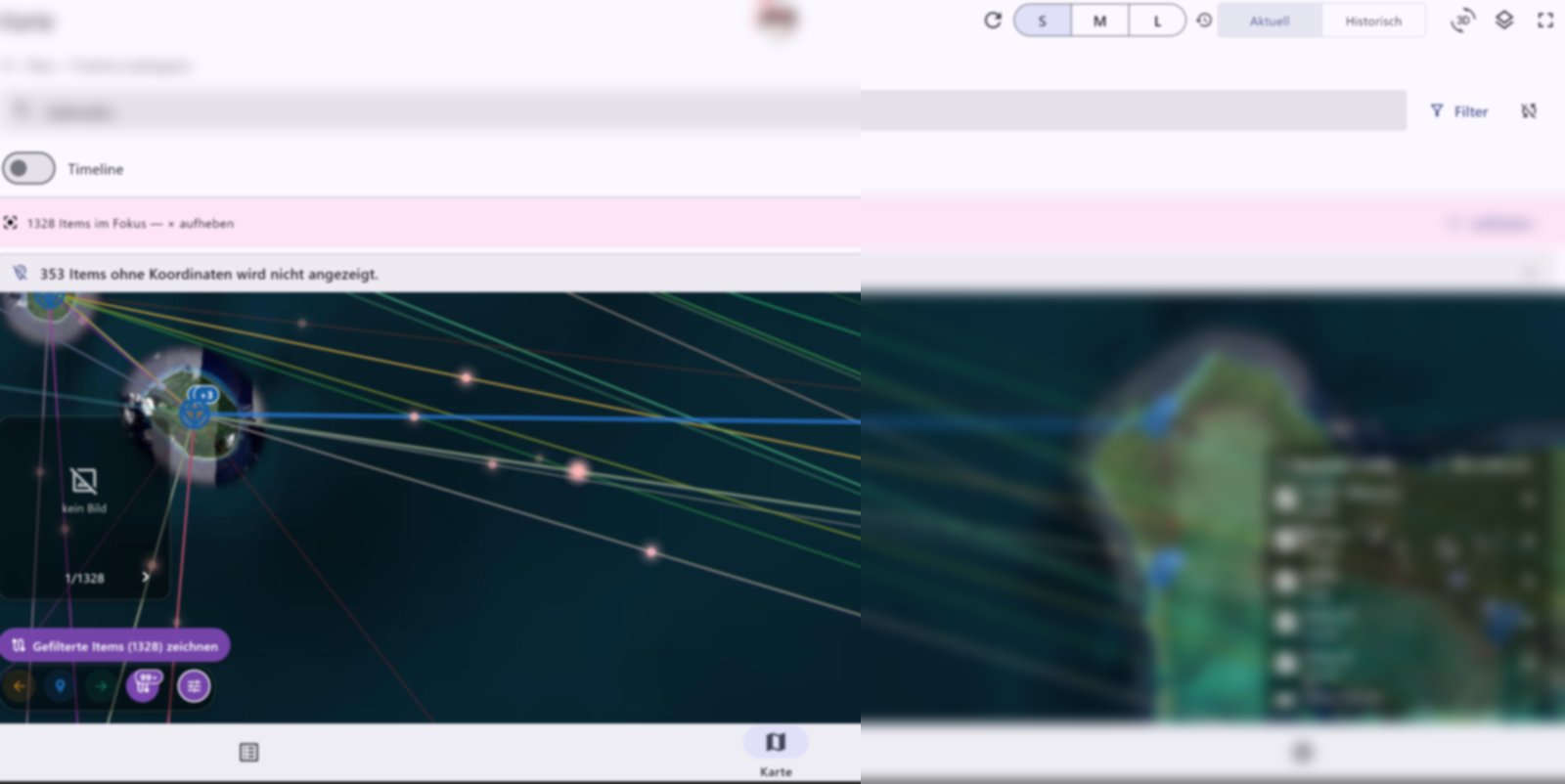
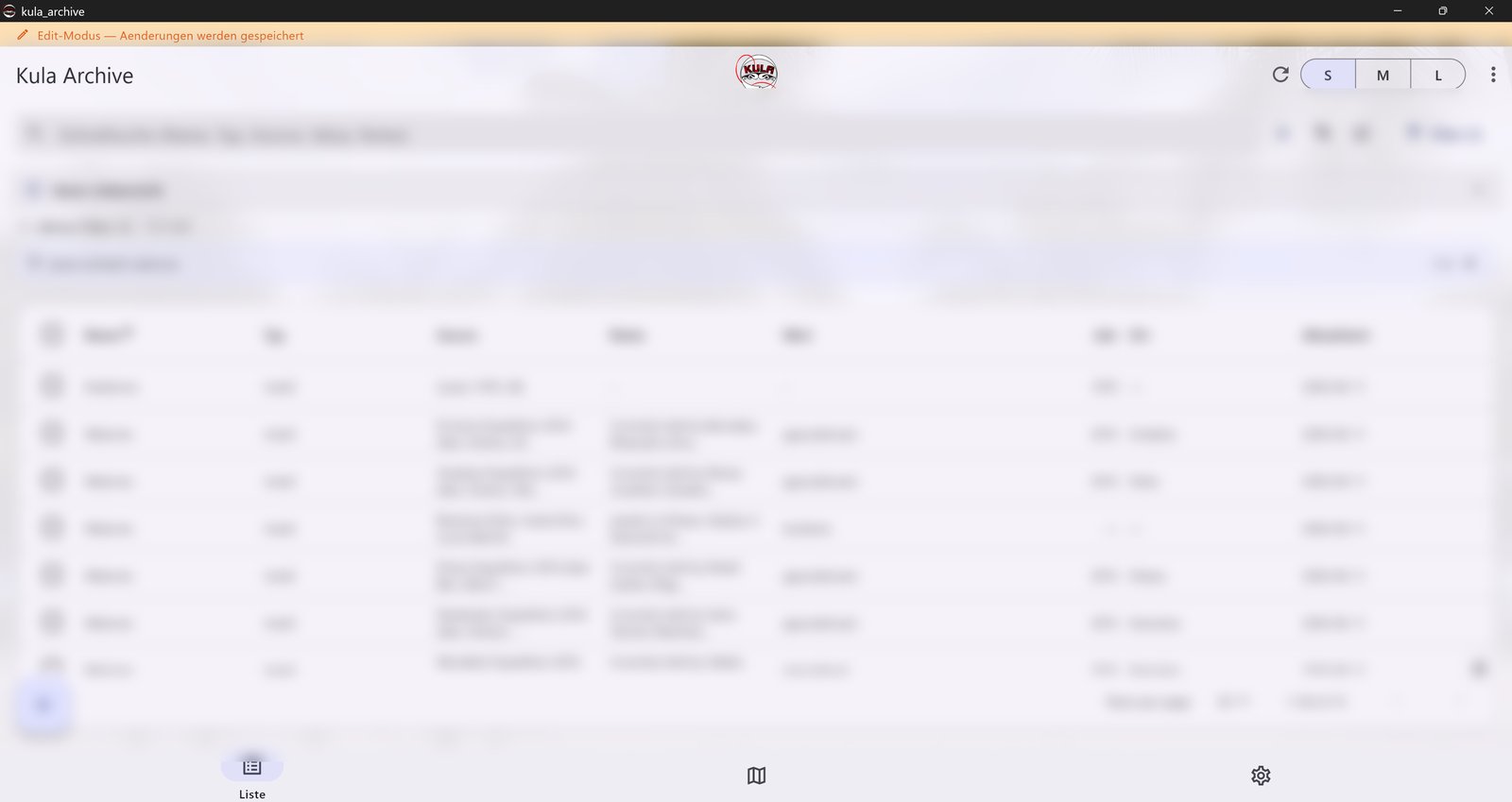
- Three synchronised views of the same data over a single filter path: an Excel-like table, an OpenStreetMap map with object trajectories, and a 3D time view that lifts each valuable's journey over space and time.
- Media per object (photo/audio/video) with local, offline transcription (Whisper) and an optional local LLM ("ask the archive", Ollama) — no cloud.
- A multi-level sensitivity model mirroring community control over knowledge, plus full Excel/JSON export so the researcher always owns her data.
The result
- A working tool in real research use: over a thousand documented valuables and their journeys across the Massim region, searchable, mapped and 3D-visualised — fully offline and encrypted.
- Filtering/search spans every field (notes, source, year, holder, places, people); the table, map and 3D view stay consistent through one shared engine.
- Backed by an ADR-driven architecture, a broad automated test suite and CI.
What this demonstrates
- Requirements-driven, bespoke delivery — a real, demanding user workflow shipped end to end, not a demo.
- Data sovereignty as architecture (offline, encrypted, no cloud lock-in) — exactly the confidentiality/GDPR concern many small organisations have.
- Respectful handling of sensitive, community-owned data as a product principle (these screenshots are privacy-protected for that reason).
- Modern AI-assisted delivery, human-curated — fast and exploratory, steered by an engineer who owns architecture → build → deployment → docs.
Tech at a glance
Flutter · Dart · Riverpod · SQLite + SQLCipher · flutter_map / OSM · Whisper (local) · Ollama (local) · Excel I/O · CI
A note on the screenshots: the data shown is privacy-protected (blurred placeholders here, synthetic demo data going forward). The real records are community-collected knowledge and never appear in any public artefact — which is the whole point of the tool.